Services


Digital Photogrammetry
GEOKING performs Photogrammetry services from Stereo Satellite Images , Aerial Photographs and Drone Images.
GEOKING provides below services in Photogrammetry
- Aerial Triangulation.
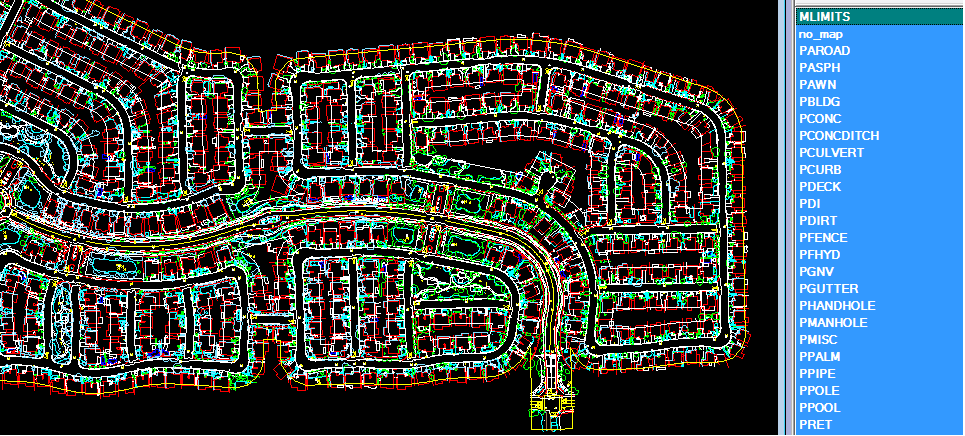
- Planimetric data collection.
- Cartographic editing and Map finishing
- Automatic Terrain Extraction
- 3D Feature extraction
- Digital Orthophoto generation & Rectification
- Drone images Orthophoto generation & Mosacing
- 3-D Building modeling
- DTM/DEM/DSM generation
- Contour generation 0.25M to 5M
Thank you for your interest in GeoKing. Please Click and fill out the form.