Services


GIS
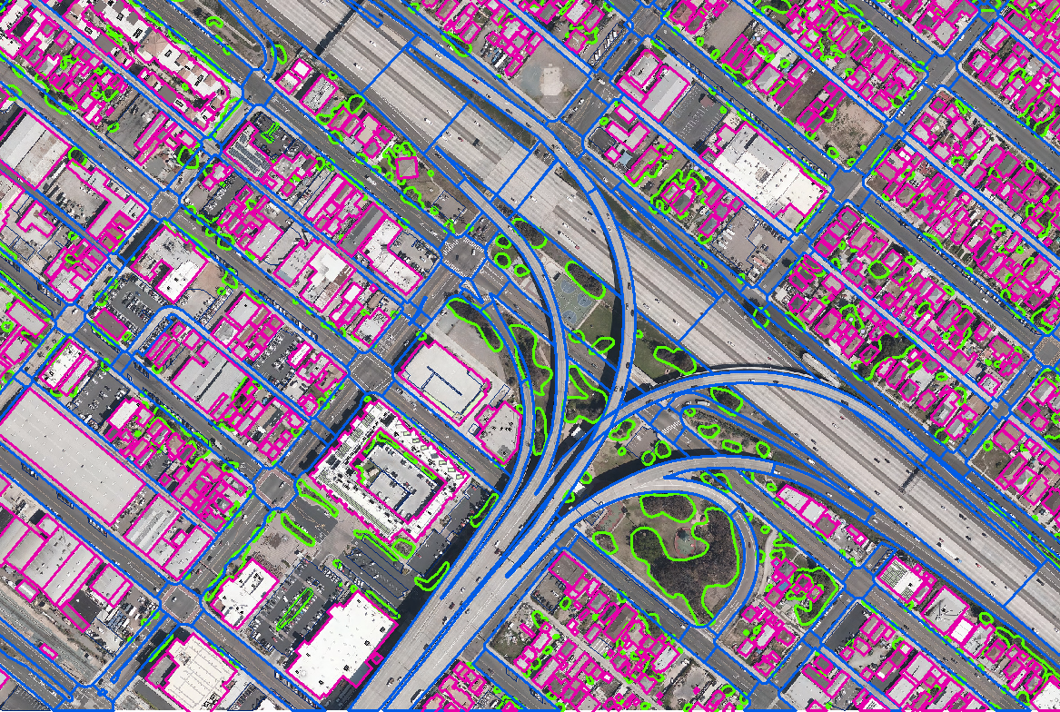
GeoKing Customized GISapplications are developed to streamline everydayworkflow. We provide the customized ArcTools based on customer requirement.
- HealthGIS
- WaterShedmapping
- GIS 2D Mapping
- Spatial analyzes
- Cadastral Mapping , TopographicMapping & Parcelmapping
- Imageprocessing, Imagerectification
- GEOcoding, GEOfencing
- GIS Development (WebApplication & MobileAppdevelopment, WebServices, Automation & Testing)
- Orthorectification
- Pansharpening
- Image Mosaicing
- Atmospheric corrections
- Color Enhancement / LUT editing
- Tiling of the Image Mosaic
- Impervious feature extraction .
Thank you for your interest in GeoKing. Please Click and fill out the form.