Services

LiDAR
Lidar (Light Detection and Ranging )is a remote sensing method used to examine the surface of the Earth.
GEOKING provides the below services in Lidar,
- Customized LiDAR tool software development and automation.
- Ground Classification.
- Bare Earth Model creation.
- Vegetation (Low, Medium, High).
- Contour creation 0.5M to 5M.
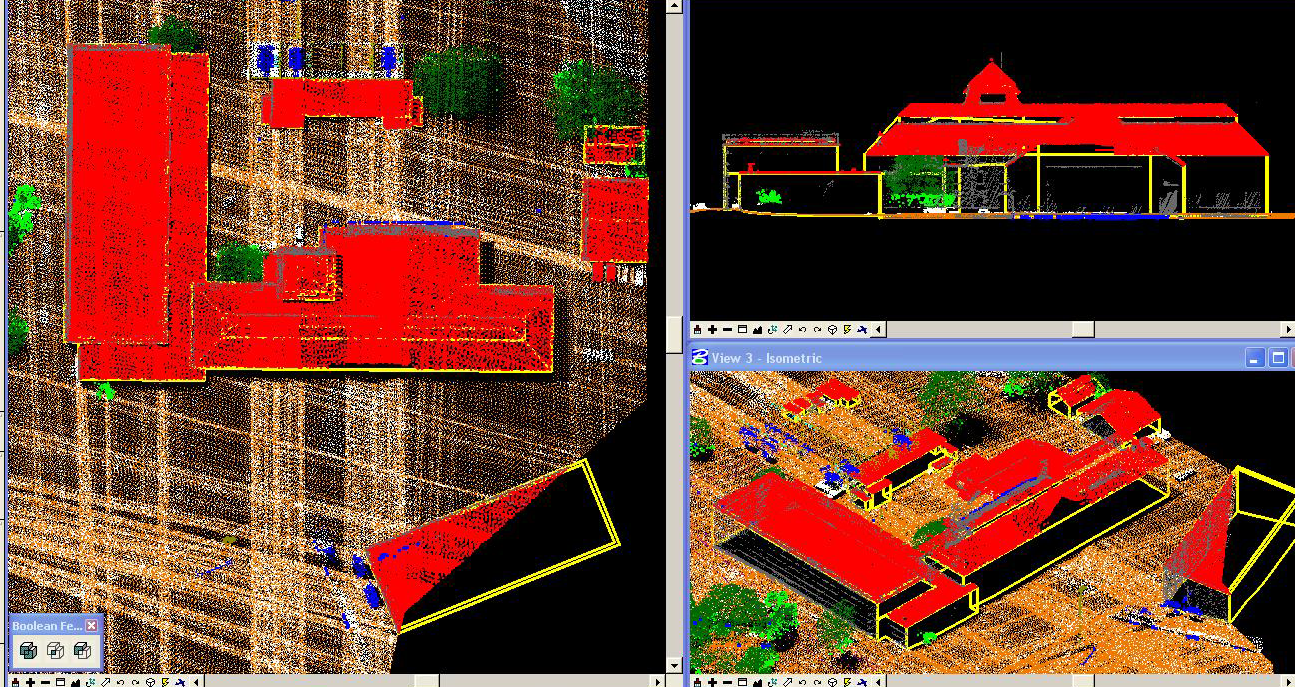
- 3D digitization of features (roads, buildings, vegetation extent) using Lidar data.
- Adding Break lines in water bodies/Rivers for generating contour accuracy.
Thank you for your interest in GeoKing. Please Click and fill out the form.